
The Overture Maps Foundation today announced the launch of its Global Entity Reference System (GERS), which assigns a unique ID to geospatial entities, including 2.6 billion buildings, 61 million places, 321 million road segments, and almost 447 million addresses. The system will allow developers to more easily join datasets, share information, and onboard new data, … continue reading

The team at the SQL database, MariaDB, today announced that the company has joined the Open Geospatial Consortium (OGC) on the heels of its acquisition of CubeWerx, the geospatial solutions provider. Through the OGC, MariaDB will work alongside the geospatial community in order to advance open geospatial standards to make information Findable, Accessible, Interoperable, and … continue reading
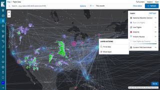
Geospatial data is being used more and more these days as telemetry and sensor technology improves. With almost every device able to emit a location signal, there is an increasing amount of geospatial data available. Elastic has introduced a new solution as part of Elastic Stack 6.7 that will provide more ways to visualize and … continue reading